Jackson Hole, Wyoming
Address
Jackson Hole, Wyoming
GPS
43.684017, -110.44366292631
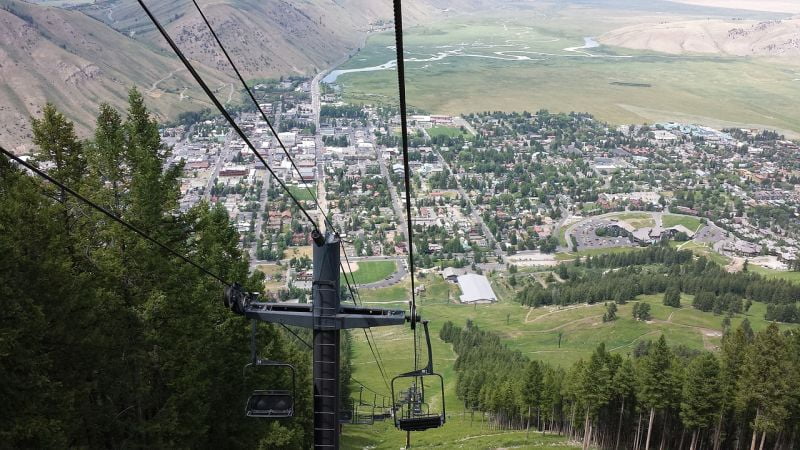
Jackson Hole is a valley located between the Gros Ventre and Teton mountain ranges in the state of Wyoming, close to the border with Idaho. When trappers used the term “hole” in reference to large mountain valleys, they were referring to something that looked like a large cavern or a pit.
While the low-lying valleys located surrounded by mountains and containing rivers and streams are good habitat for beavers and other fur-bearing animals, they’re too far away for deer to migrate through. Jackson Hole is approximately 55 miles long (89 km) long and 6 to 13 miles wide (10 to 21 km with an average elevation of 6,800 ft). It is a graben valley with an average elevation of 6,800 ft, but its lowest point is near the southern park boundary at 6,350 ft (1,940 m).

The valley is created by the Teton Range to the west and the Gros Ventre Range to the east. The northwestern part of the valley, encompassing the majority of the Teton Range and Jackson Lake, is incorporated into Grand Teton National Park.
Jackson is situated at the southernmost tip of the state. United States territory lies, between them The junction of Route 26, known as “Glacier View Turnout” offers an expansive view of Teton Glacier, on the north of Grand Teton, and the National Elk Refuge, where the world’s largest elk herd lives.


