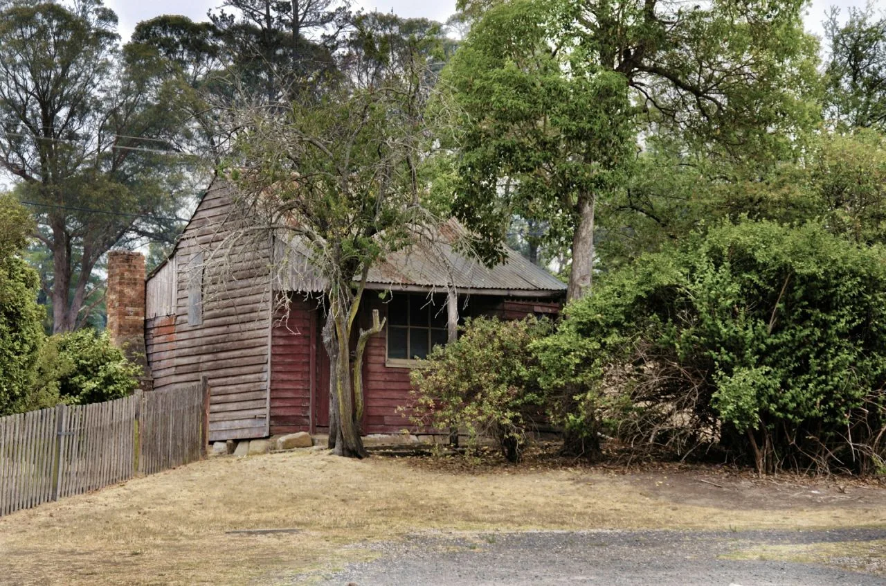
Berrima, Australia
Address
Berrima, Australia
GPS
-34.4890052, 150.3361505
Berrima is a historic village in the Southern Highlands of New South Wales, Australia. Berrima was founded in the 1830s, during a period in New South Wales when there was a lot of exploration and expansion. While surveying the route for the Great South Road in 1829, Surveyor General Major Thomas Mitchell camped near the current bridge over the Wingecarribee River. He persuaded Governor Bourke that this was a good town location, and surveyor Robert Hoddle produced a settlement layout in 1831, which was approved.
Berrima had a Court House and a Gaol by 1840, and it had established itself as the administrative center for the southern districts. The Wingecarribee River was crossed by a stone arch bridge, and traffic on the Great South Road grew as carts, drays, and coaches made their way to and from Sydney. As a convenient stopping location for passing vehicles, the community developed. There were thirteen inns in and around Berrima between the 1840s and the 1960s, with a population of roughly 400.
In 1848, the circuit court was moved to Goulburn due to increased settlement and development further south. Only local cases were tried at the Berrima court after that. The planned construction of the southern railway, however, fuelled optimism for Berrima’s wealthy future in the 1860s. Locals predicted that once the line reached Berrima, it would become one of the colony’s major centers.


