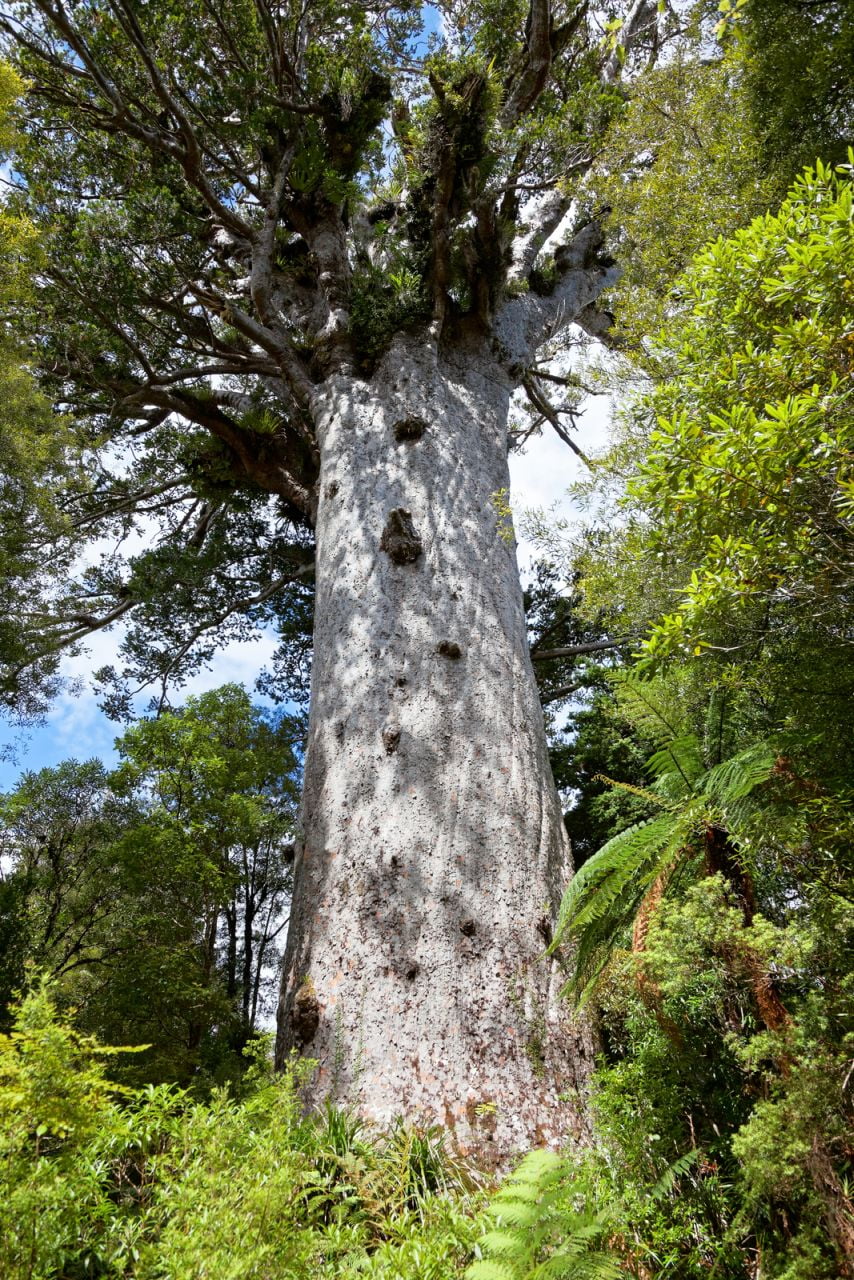
Tane Mahuta, New Zealand
Address
Waipoua Kauri Forest 0473, New Zealand
GPS
-35.598563038434, 173.52700974531
The Kauri Tree known as Tane Mahuta (Tāne Mahuta), sometimes referred to as Lord of the Forest, is the largest tree of its kind in Northland and all of New Zealand. It has a circumference of 14 metres around the trunk when measured at breast height and has a height of around 50 metres.
It is believed to be somewhere between 1,250 and 2,500 years old at this point. The Mori god of forests and birds is known as Tane. Because of this, the entire Maori population regards Te Mahuta as a sacred tree. Mythology has it that any and all living things that can be found in a forest are said to be Tne’s children.
 The tree is a relic from the days when the North Auckland Peninsula was covered in a verdant and verdant subtropical rainforest.
Tane Mahuta was initially uncovered in January 1924, during the surveying process for State Highway 12 in New Zealand. In 1929, while the workers were still in the process of constructing the road, they also identified it.
In addition to Te Matua Ngahere, Tane Mahuta is often considered to be the most famous tree in New Zealand. It is also considered to be one of the most iconic and important spots in all of Aotearoa.
Where can I find it?
Off of State Highway 12 in Northland is where you’ll find Tane Mahuta, which is in the Waipoua Forest. From Dargaville, the township of Omapere is 65 kilometres to the north, while the township of Omapere is 18 kilometres to the south. You will not fail to notice the indicators.
It is the shortest and easiest stroll, taking only five minutes total, and is also accessible to people using wheelchairs. Unless you have a permit from the DOC, you are not allowed to bring the dogs with you.
How exactly do you get there?
There are signs directing pedestrians to the Tane Mahuta Walk along State Highway 12, which passes through the Waipoua Forest. The township of Dargaville is located 65 kilometres to the south, and the township of Omapere is located 18 kilometres to the north.
At the Tane Mahuta car park, the road has been widened so that it can handle guest vehicles. A picnic area and restrooms may be found approximately 25 metres back from the parking lot, on the opposite side of the road from where the trailhead entry is located.


