Münsterplatz Basel
Address
Münsterplatz Basel
GPS
47.5565717, 7.5916391344122
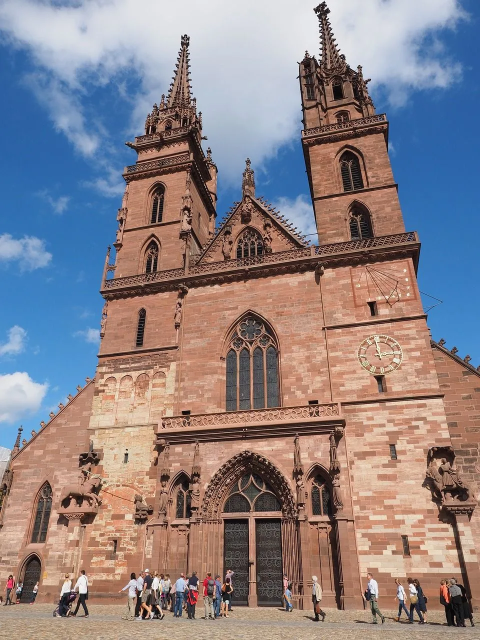
You can find the Münsterplatz in the heart of the city, right opposite to the ancient Münster, and it’s segmented into three sections:
Open space – the square is paved and rectangular in shape. Three of the sides are surrounded by old structures. A paved road forms the boundary of the fourth side. The area is under the “Allmend” usage zone. You can walk to the cathedral, the museums, the galleries, the restaurants, and the offices in less than ten minutes.
Trees grove – is rectangular in shape and it is encircled by a paved roadway. The Munster and other historic structures surround it on three sides. Four of the sides are buildings, and the fifth is the open Münsterplatz. In the midst of the trees, you can find an old fountain. The tree-lined area is part of the ‘green zone’ that encourages environmentally friendly behaviors. Close proximity to the church, office buildings, and apartments.
The Palatinate is a famous lookout point, as it provides a panorama of the hub formed by Basel, the Rhine, and the Palatinate. There are chausses on the ground, trees all around it, and a seat wall surrounding the entire area. From the Munster pier, you can board the Rhine ferry (Münster ferry) via a short flight of stairs. Green zone usage describes the current status of the area. Close proximity to the church, office buildings, and apartments.

