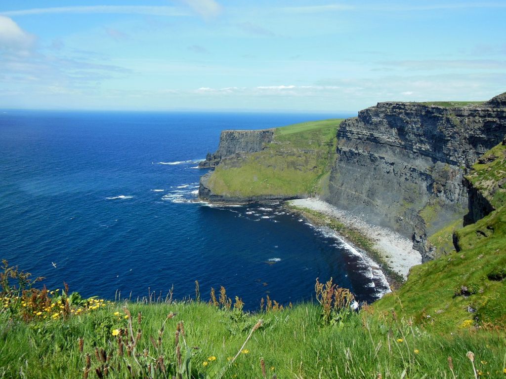
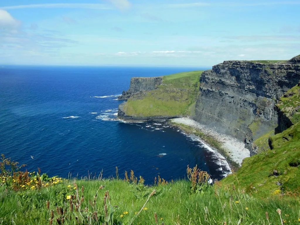
Cliffs of Moher
Address
Cliffs of Moher
GPS
52.9595033, -9.4441796
The Cliffs of Moher are sea cliffs in County Clare, Ireland, on the southwestern edge of the Burren region. They cover approximately 14 kilometers (9 miles). At Hag’s Head, they rise 120 metres (390 ft) above the Atlantic Ocean, and 8 kilometers (5 miles) to the north, they reach their highest point of 214 metres (702 ft) just north of O’Brien’s Tower, a round stone tower near the midpoint of the cliffs built in 1835 by Sir Cornelius O’Brien, and then continue at lower heights.

The villages of Liscannor, 6 kilometers (4 miles) to the south, and Doolin, 7 kilometers (4 miles) to the north, are the nearest settlements.
Visitors can see the Aran Islands in Galway Bay, the Maumturks and Twelve Pins mountain ranges in County Galway to the north, and Loop Head to the south from the cliffs and atop the tower. With approximately 1.5 million visitors per year, the cliffs are one of Ireland’s most popular tourist destinations.


